Quandary Peak - Colorado 14er

For our final hike of the trip (yes I'm posting these out of order), we decided to hike our first Colorado 14er.  Disclaimer....Scott has previously hiked the tallest mountain in Colorado (Mount Elbert), so he had to lower himself to hike this first one with Sarah and I.  ha!

Quandary Peak is rated as difficult, but supposed to be one of the "easier" 14ers.  As they say, no 14er is easy.  Quandary was a little more than 6 miles round trip, but the real trick is that you gain almost 3,000 feet in elevation from the trailhead. 

Quandary Peak 2.jpg

We were on the trail around 5:00 am and started the hike with headlamps.  Scott and I have decided we are pro's at headlamp hiking!  It would have been fun to summit for sunrise, but we got some great views on the way up. 

The mascot of Quandary Peak is evidently the mountain goat.  During the early morning light, one startled us on the trail.  One of these decided I was getting too close to him and started walking back down the trail towards me....I backed off.  :-) 

We reached the summit and had a nice breakfast at the top.  It's very exhilarating to be above 14,000 feet! 

Rocky Mountain National Park Backcountry 26 Mile Trek

July 26 – 28, 2013

My brother-in-law (Scott Hatfield) and I took a 3-day/2-night backcountry adventure through Rocky Mountain National Park.  We’ve been talking about doing this trip for almost three years now.  The conversation started as a joke (especially since I was 60 pounds heavier then and out of shape).  As things evolved we began to get a lot more serious about it.  Our families planned a reunion of sorts in Breckenridge this summer and we decided it was now or never. 

2013-07-27 RMNP Trek_035.jpg

Originally we had planned to map this out and do the trip solo.  Fortunately we wised up and decided we had very little experience backpacking.  We hired a guide from Apex (https://www.apexex.com), Tim Benson.  Best decision we made!  Tim was awesome and provided the exact trip that we had dreamed of.
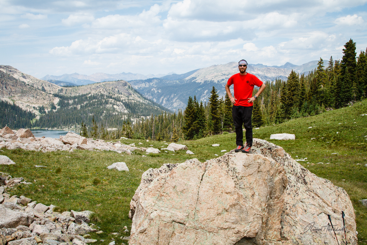
This blog will unfortunately be unable to actually describe what we accomplished.  I have included a Google Earth map view so you can see the Trek.  The location marked “Move” was where we camped each night.

RMNP Trek.jpg

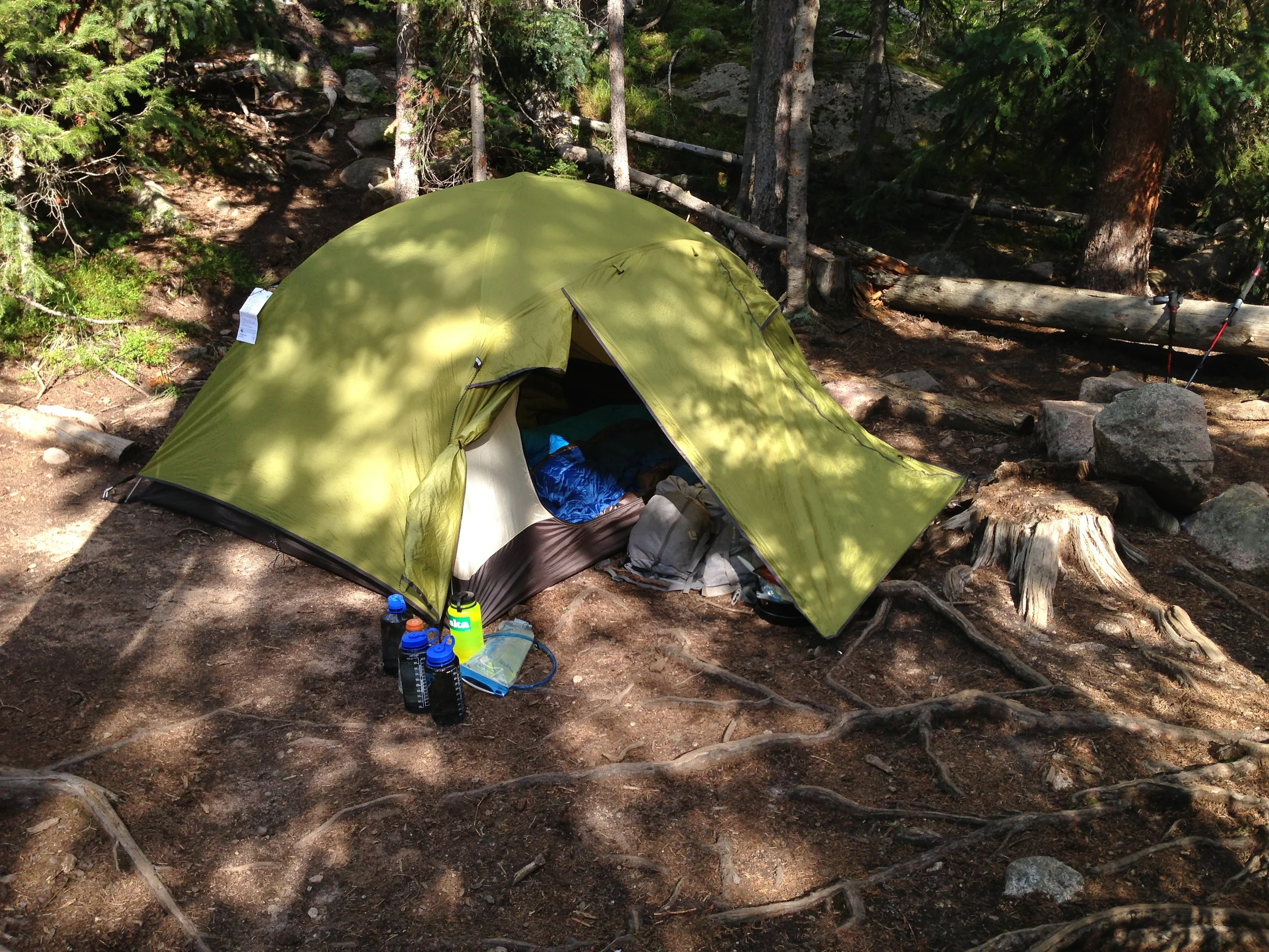
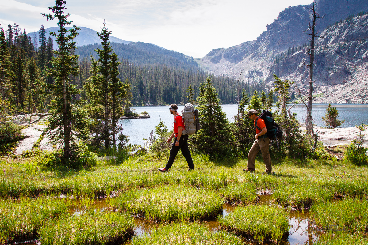
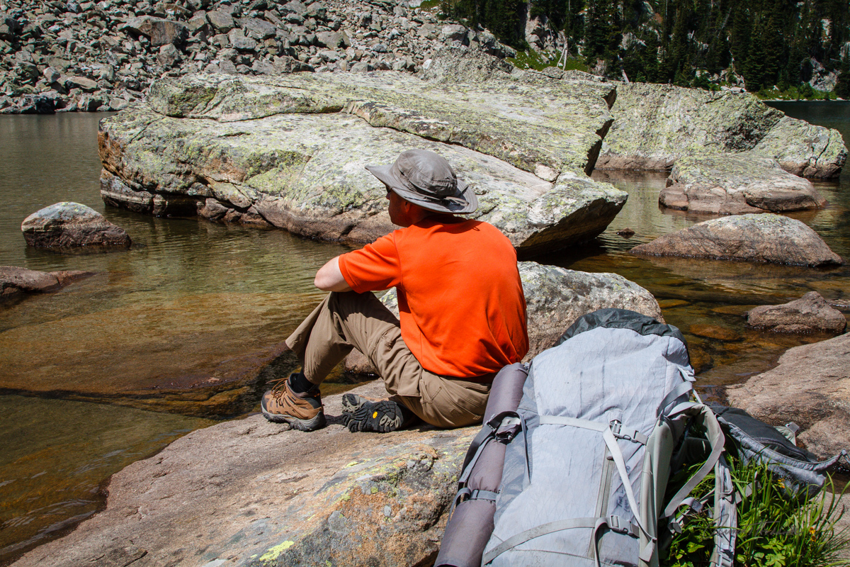
After the first day of hiking about 7-8 miles, we were pretty tired.  First time carrying a 50 pound backpack on a hike!  We got to camp at a good early time, setup and able to relax.

First night camp site

First night camp site

Our guide, Tim Benson

Our guide, Tim Benson

Wasn't a good idea to have coffee before bed...

Wasn't a good idea to have coffee before bed...

IMG_1671.jpg

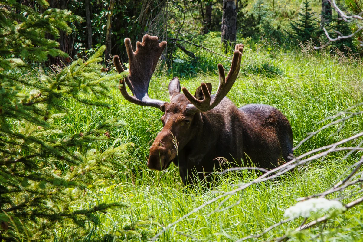
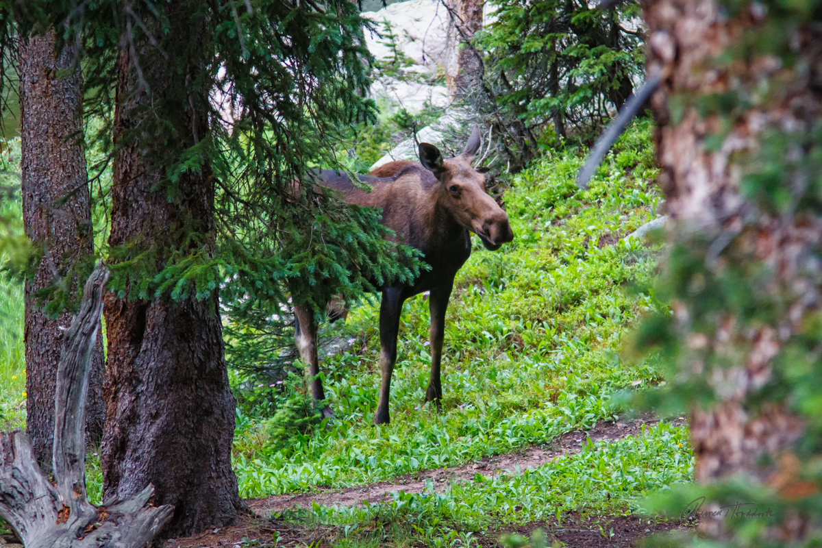
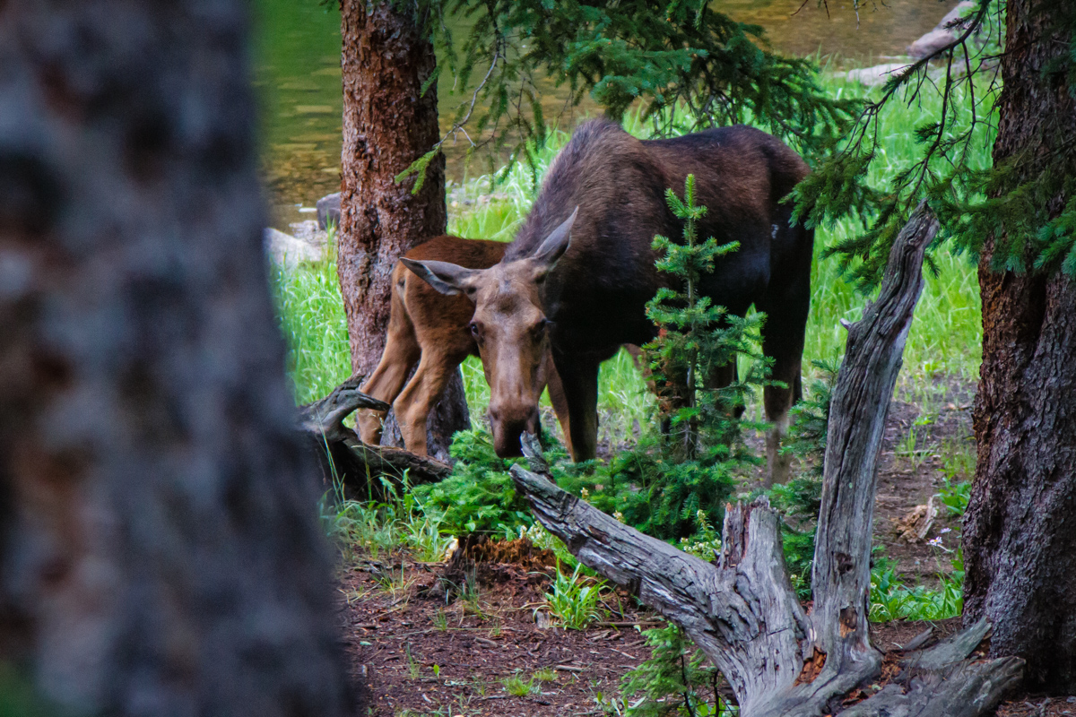
Oddly enough, only two miles into the trek we saw the highlight of our wildlife viewing!  On the way to the trailhead, I was commenting to Scott that the one animal that always eludes me is a Bull Moose.  Then we saw this dude…

Russell's Bull Moose

Russell's Bull Moose

The second day was much tougher, and longer than the first.  We thought Saturday was going to be the hardest day….but we were definitely wrong.  About half way through the hike on Saturday, the trail ended.  This was all part of the plan; after all we wanted a true wilderness adventure.  Tim had mapped out an off trail area that had not been crossed before so we set out to be the first.


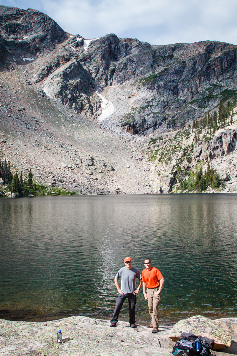
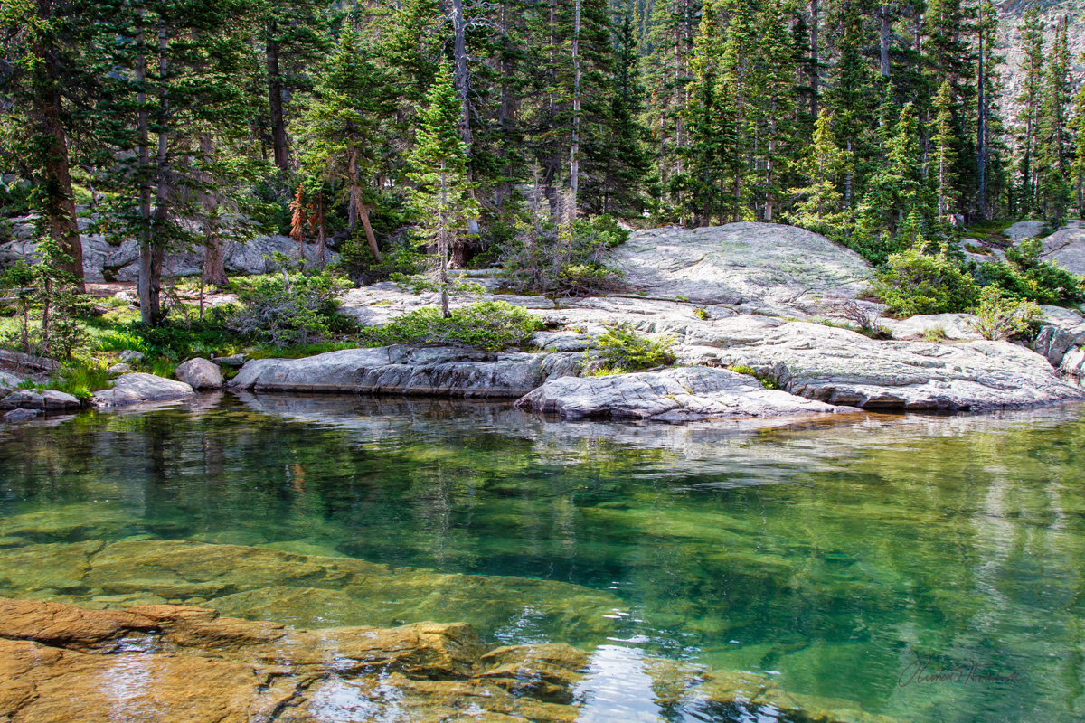
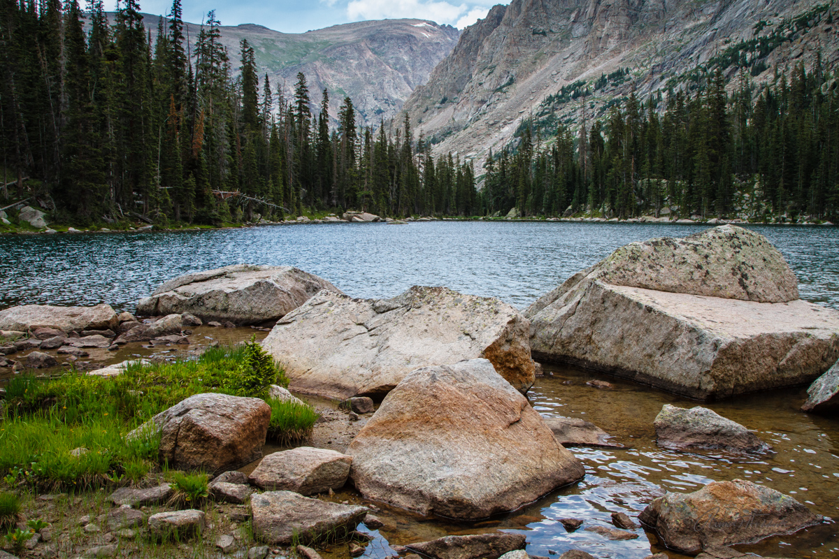
We camped near an “Unnamed Lake” on the map.  Tim told us that it was unnamed because there were no trails leading to it, this was all backcountry.  Well….we had to name it of course.  Welcome to “Lake Timscottruss.”

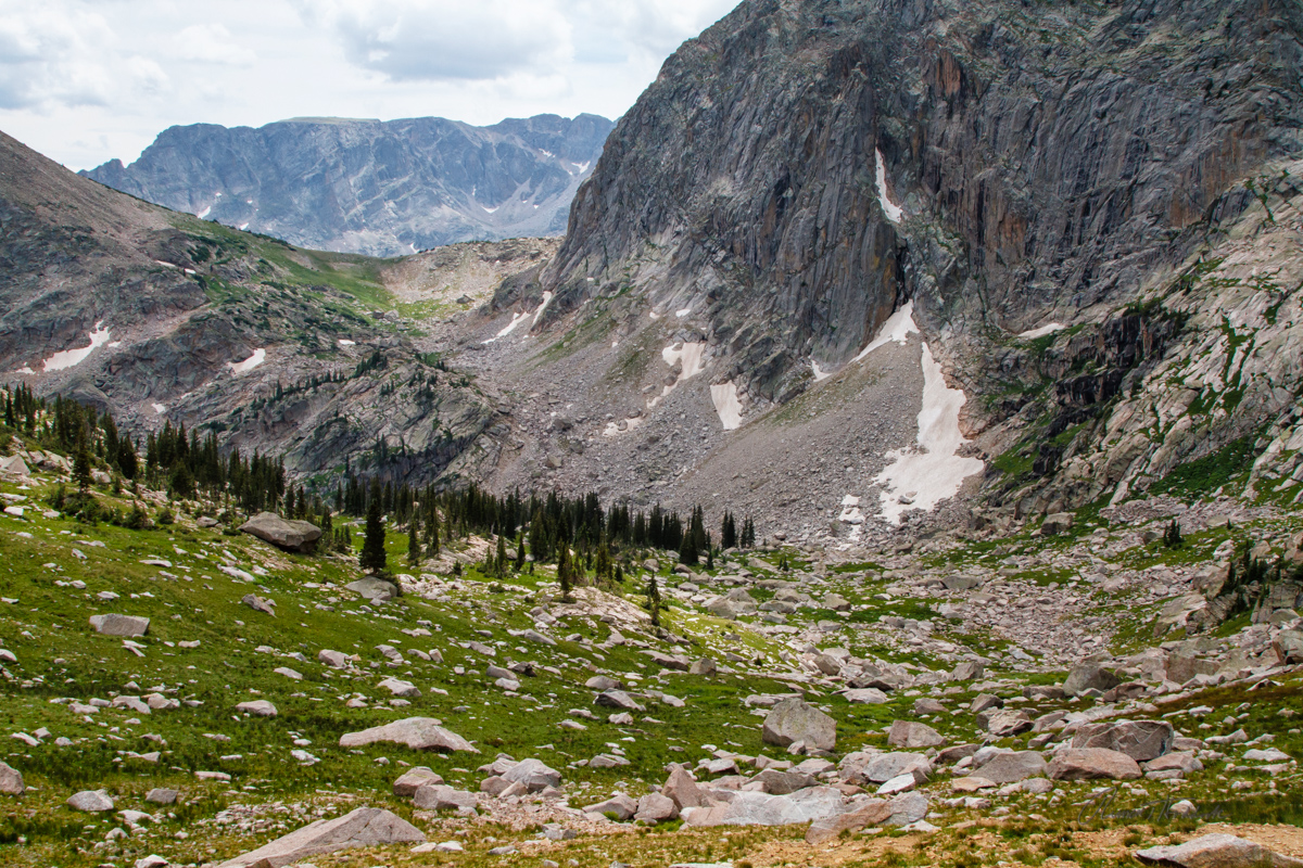
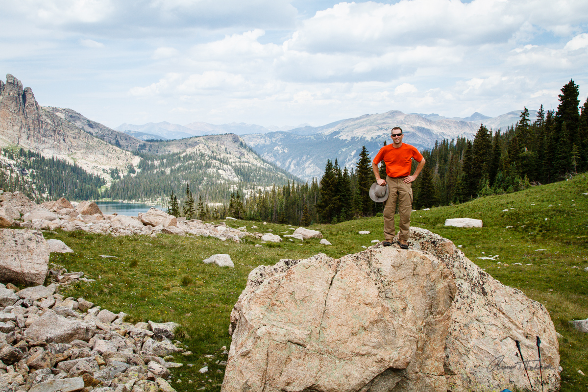
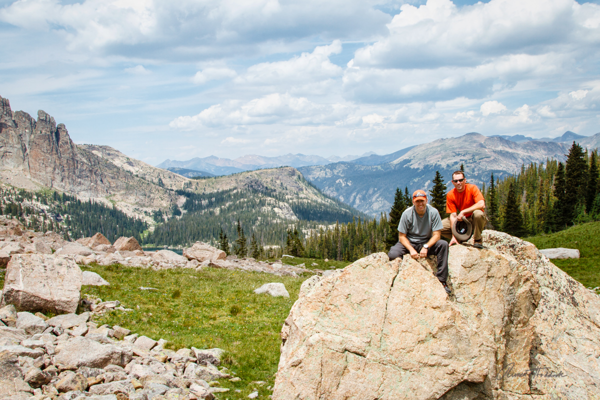
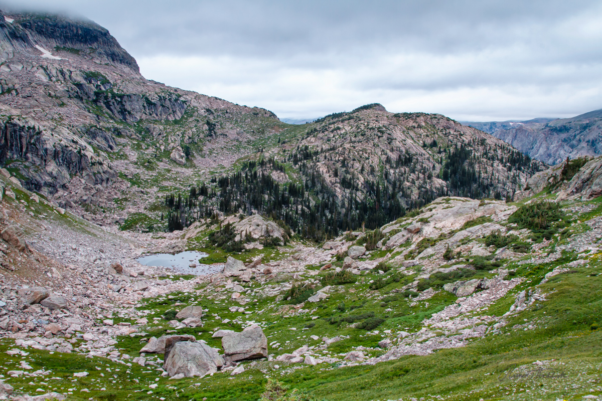
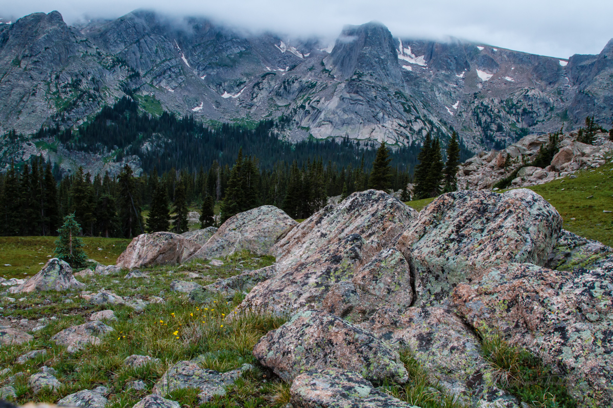
Day 3 was a truly unique experience!  We still had over 9 miles to go, most of which was over uncharted terrain so there were a lot of unknowns.  Tim had us do an alpine start with headlamps, so we packed up and headed out shortly after 4:00 am.  The first hour and half of this trek covered around a mile.  It’s impossible to recreate what we did, especially since I have no pictures because this part was all done by headlamp.  We in essence hiked/climbed/crawled over a giant boulder field to reach the upper unnamed lake.  Then continued up the rest of the mountain to reach the pass close to sunrise.  The clouds were low (another reason why we started early), so we couldn’t see the actual sunrise.  But I was able to find a rock and capture some long exposure shots of the views.

It's hard to see exactly what we did - but the arrow below points to the gulley area that we climbed to reach this lake.

2013-07-28 RMNP Trek_042.jpg

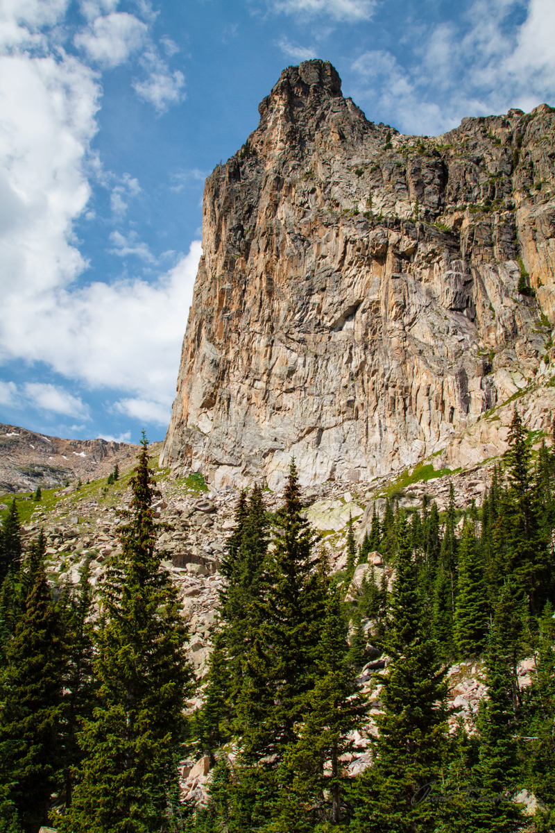
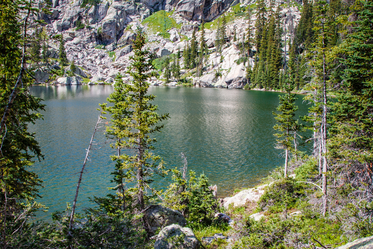
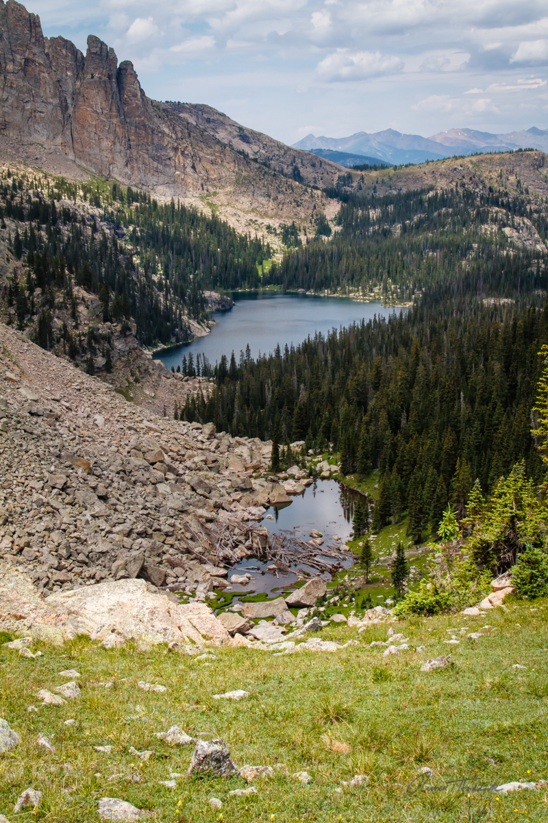
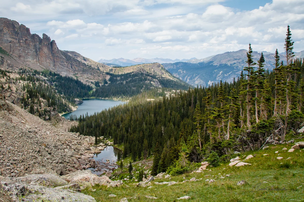
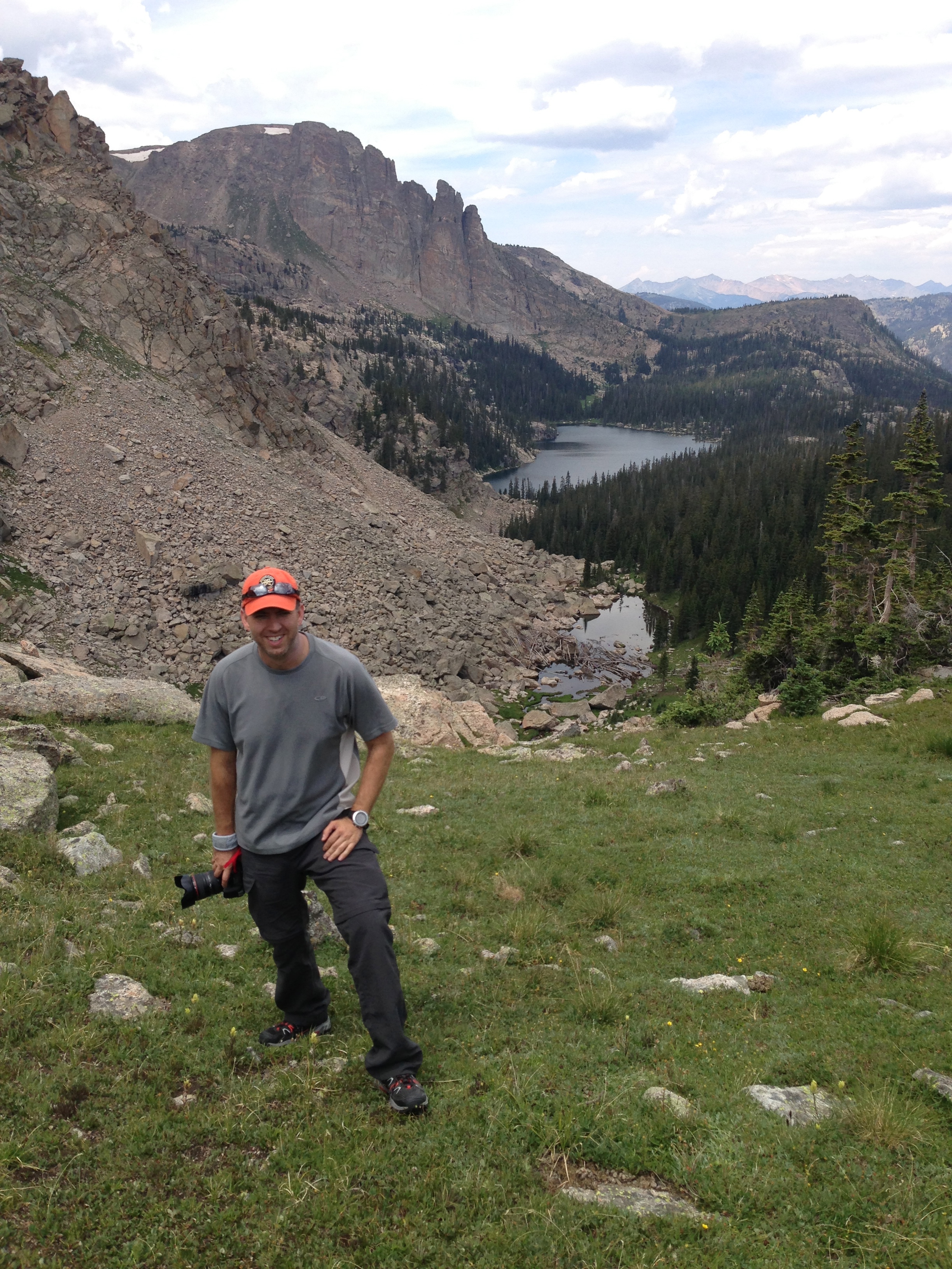
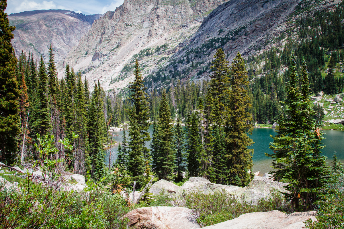
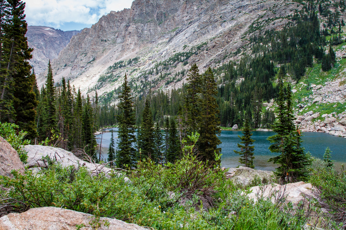
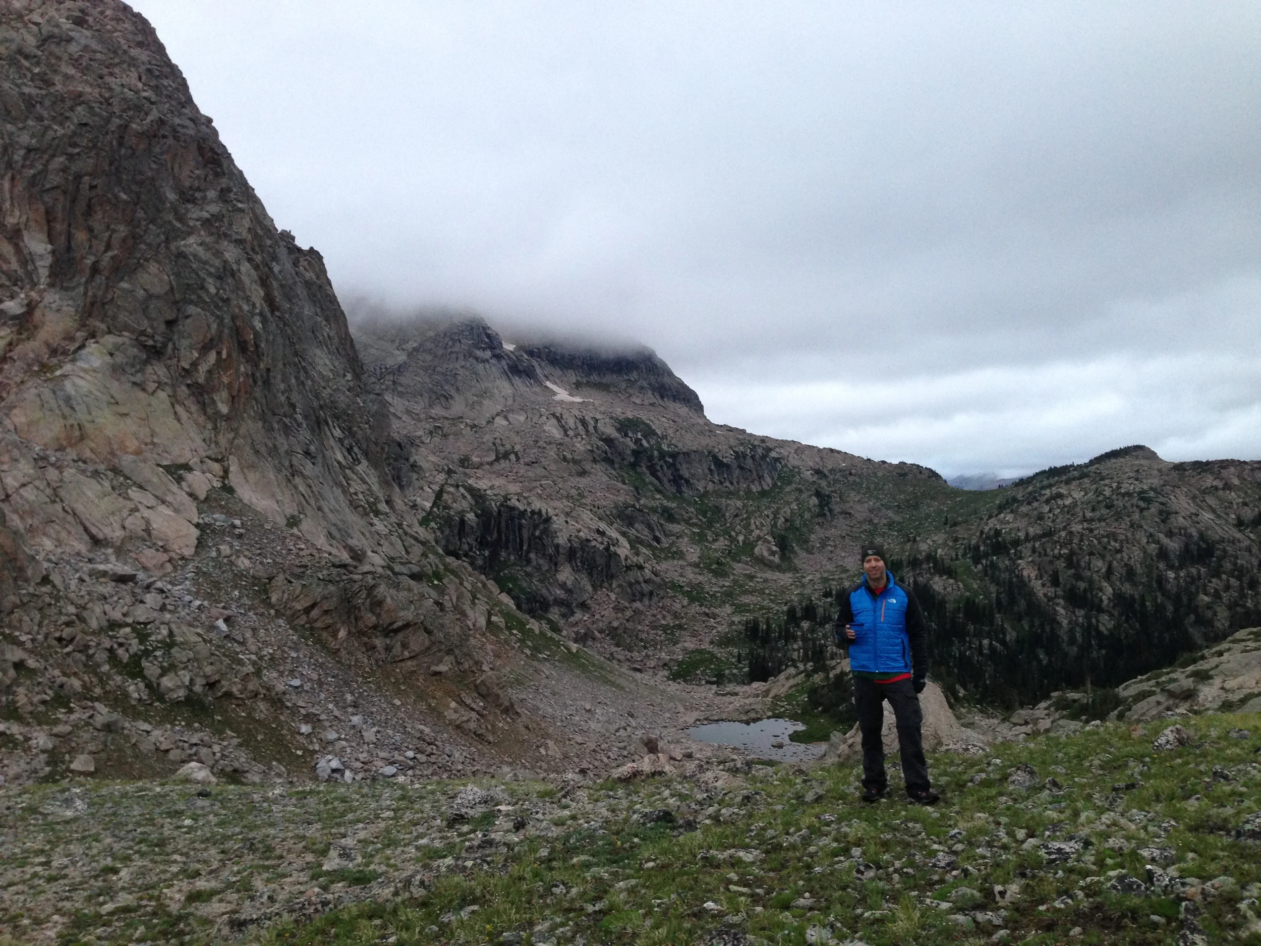
This next section was harder for me than the uphill climb.  I took this picture of the lake about half way down the mountain.  This gives you some idea as to how steep our descent was to get to the lake.

2013-07-28 RMNP Trek_046.jpg
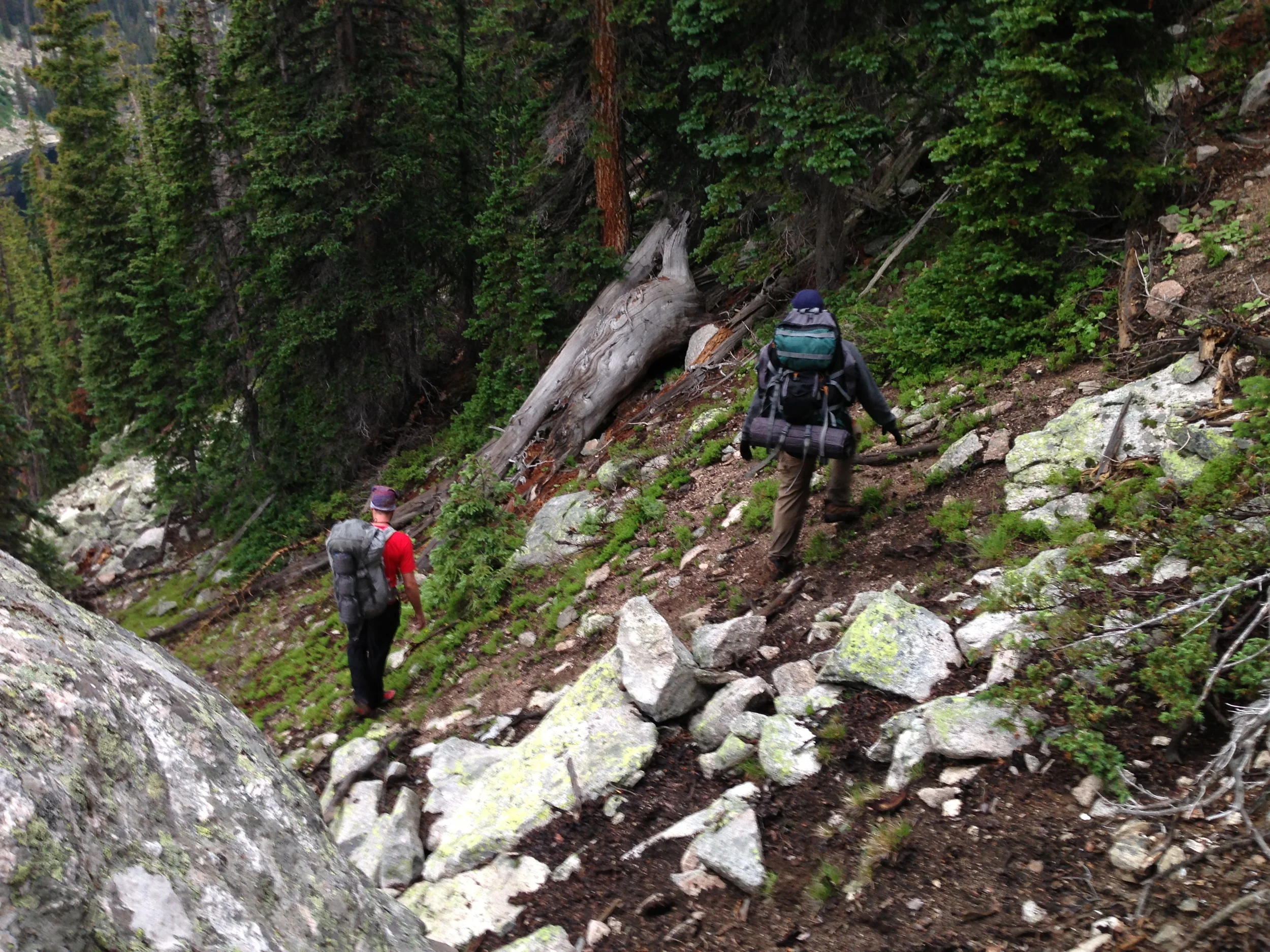
Climbing down

Climbing down

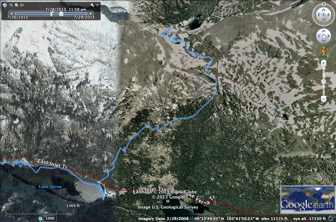
This close up view from Google Earth shows the map of what we had to hike up and over the pass and then down the mountain towards Lake Verna. 

Day 3 Map

Day 3 Map

Down to the lake

Down to the lake

After reaching the lake, the hardest part of the trek was definitely over, but we still had about five miles left to go.  We did have a nice opportunity to come across some more wildlife on this part of the journey. 


Complete Gallery of my Pictures from the Trek


And of course, the celebratory beer at Breckenridge Brewery!

And of course, the celebratory beer at Breckenridge Brewery!